
CYCLING ROUTES
IN SPAIN
Discover Spain while pedalling
IN SPAIN
Discover Spain while pedalling
View full route
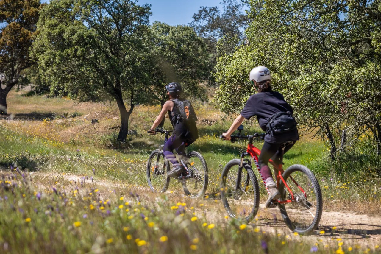
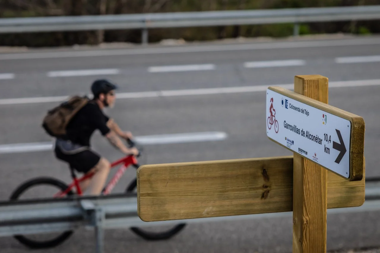
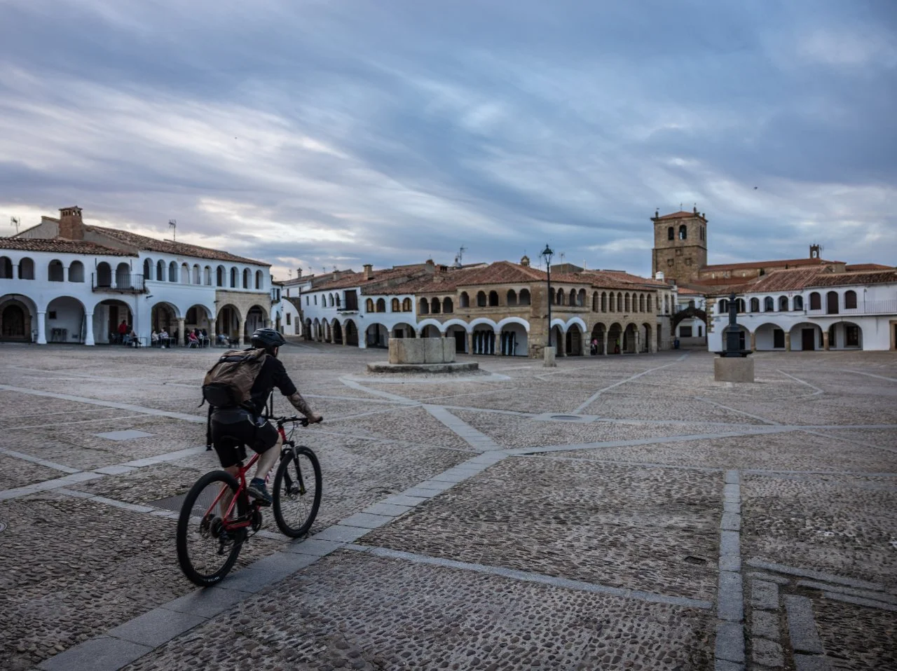
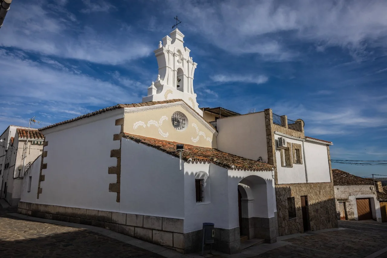
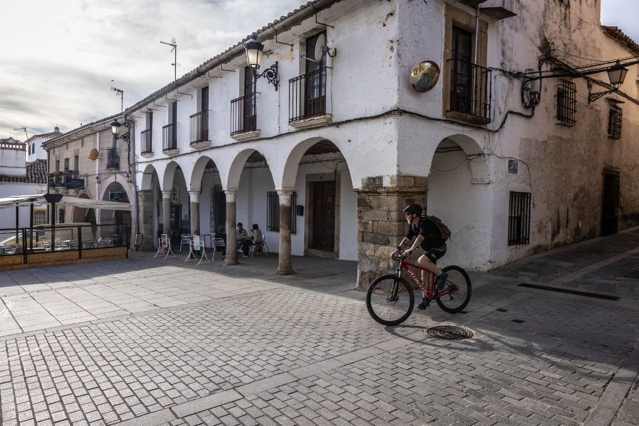
Ciclosenda del Tajo - Etapa 6: Canaveral - Garrovillas de Alconetar
Gallery
Description of Diputación de Cáceres
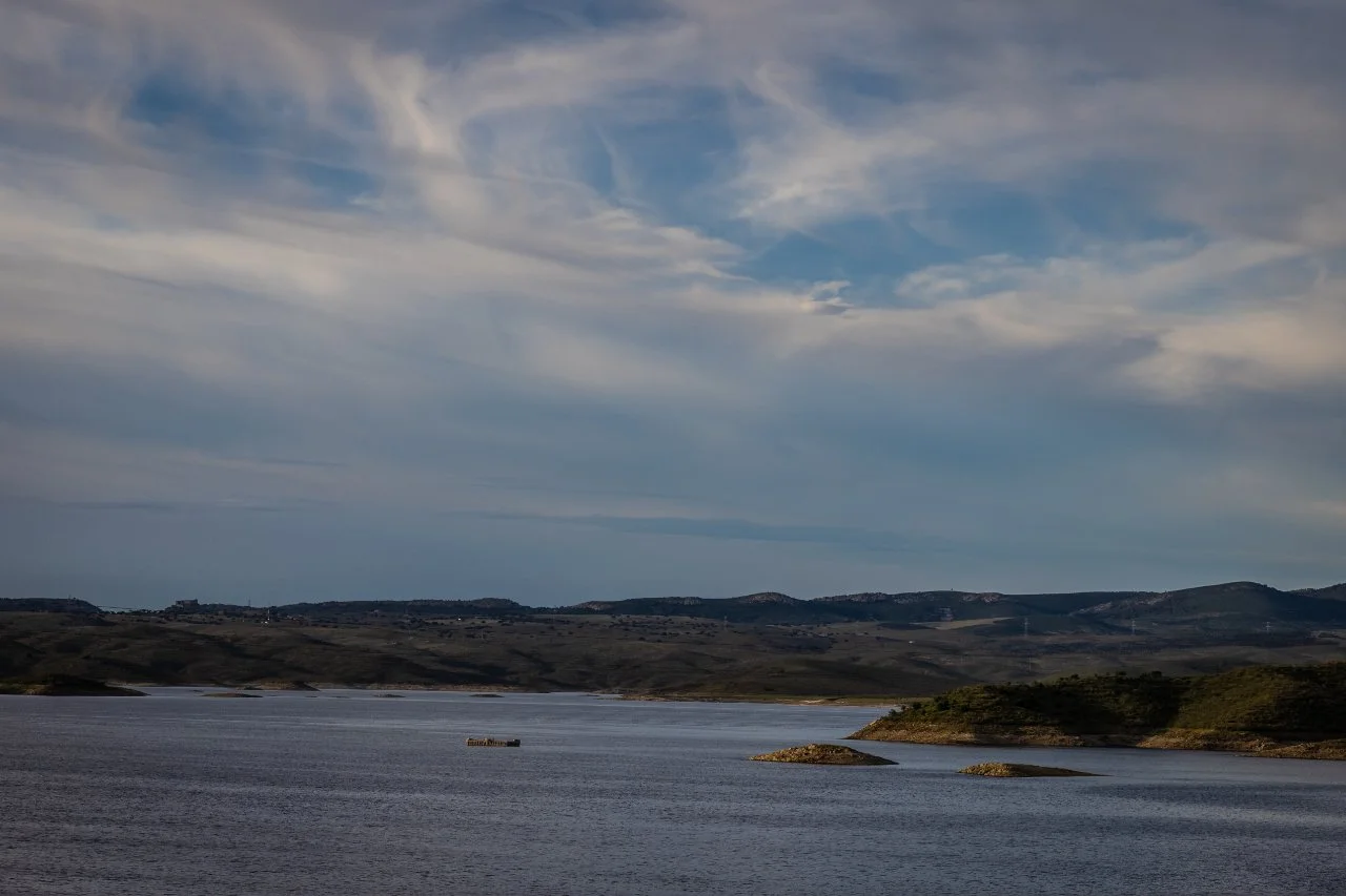
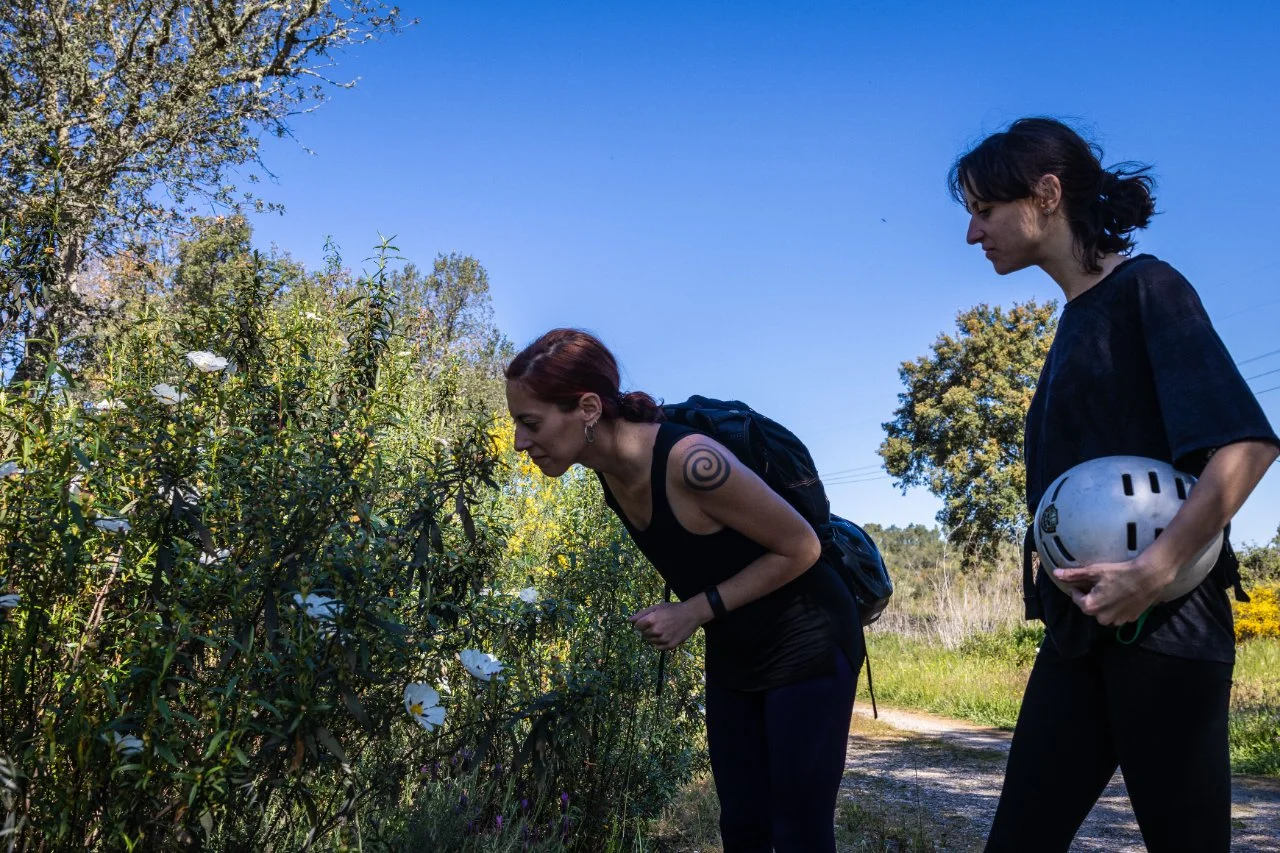
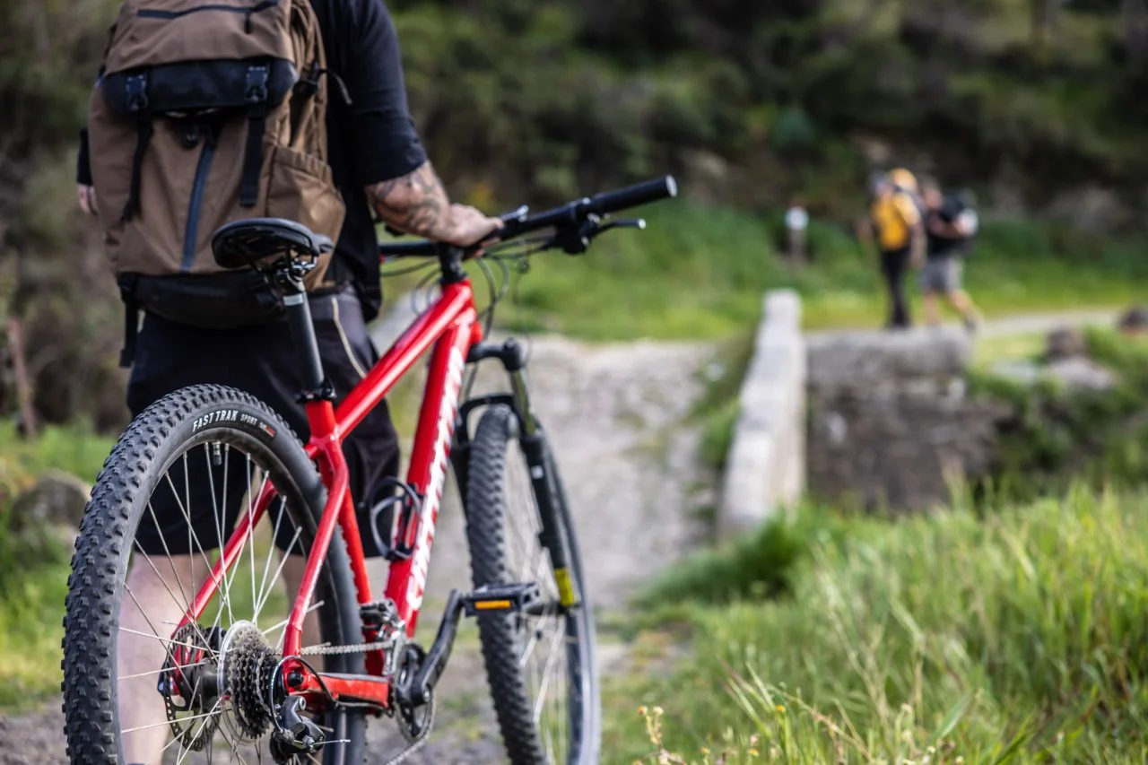
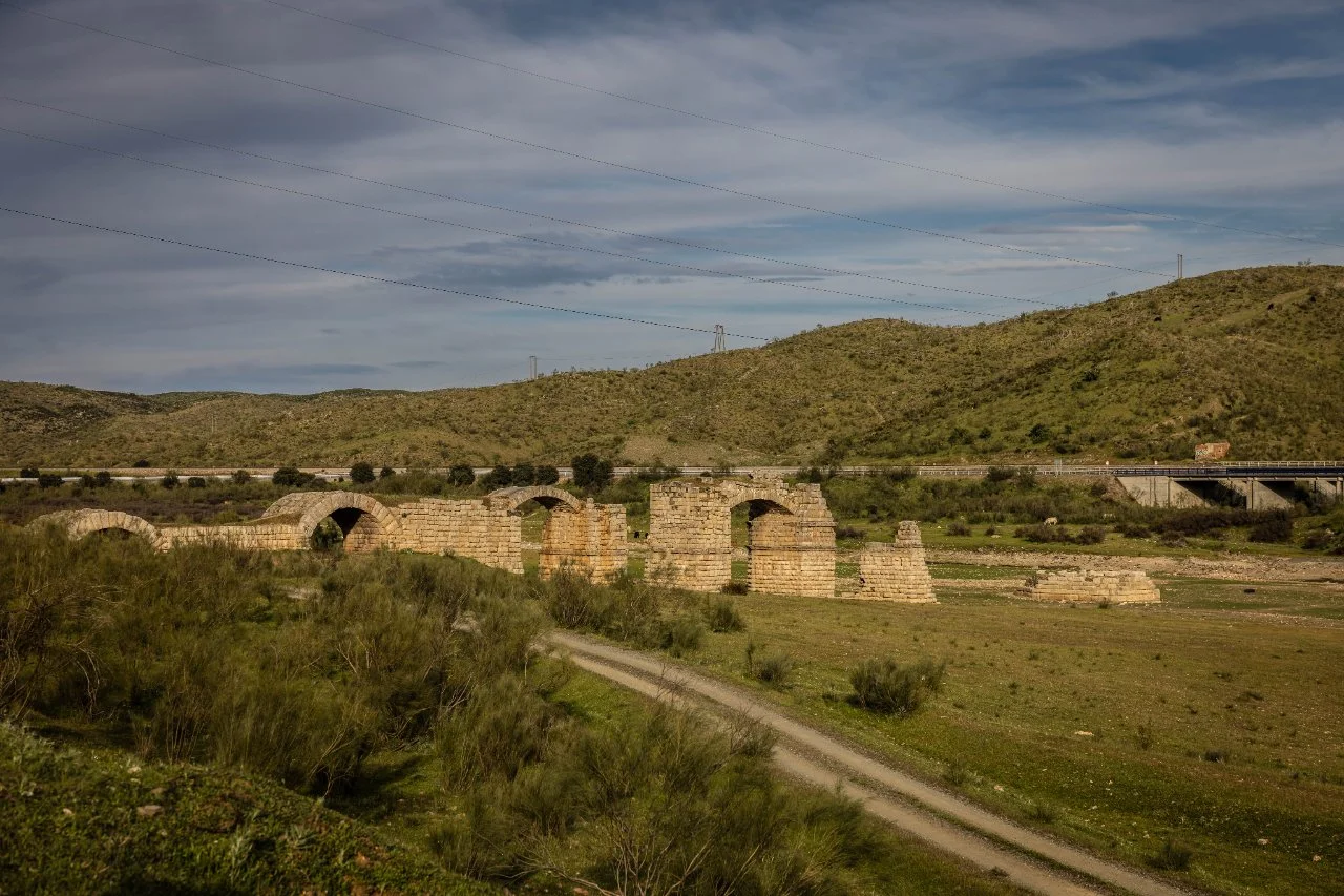
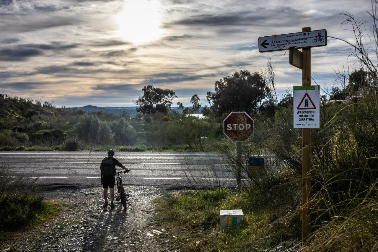
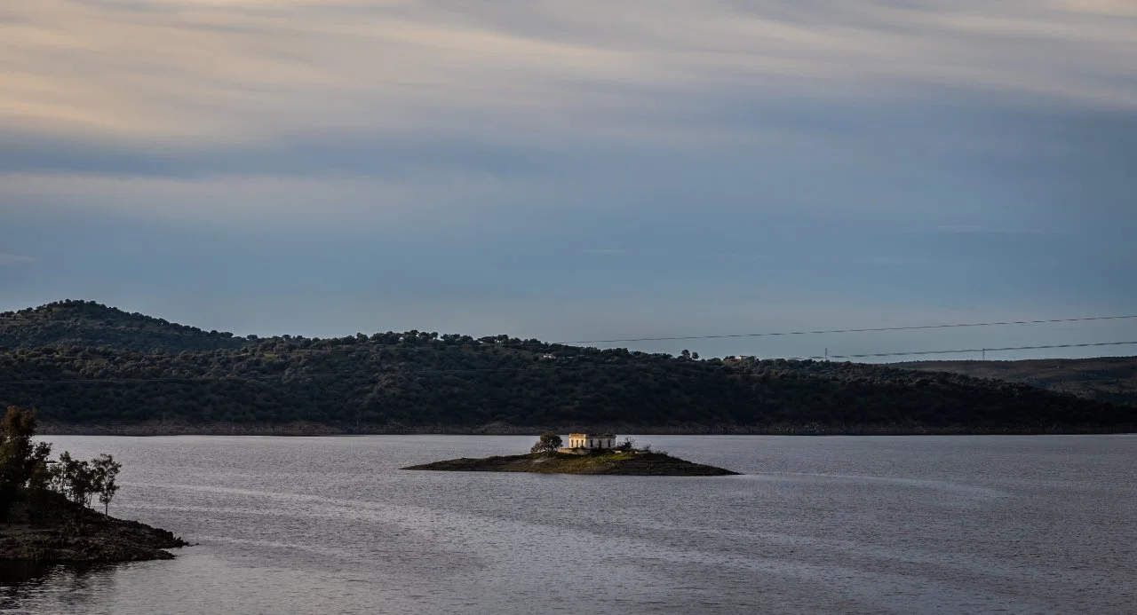
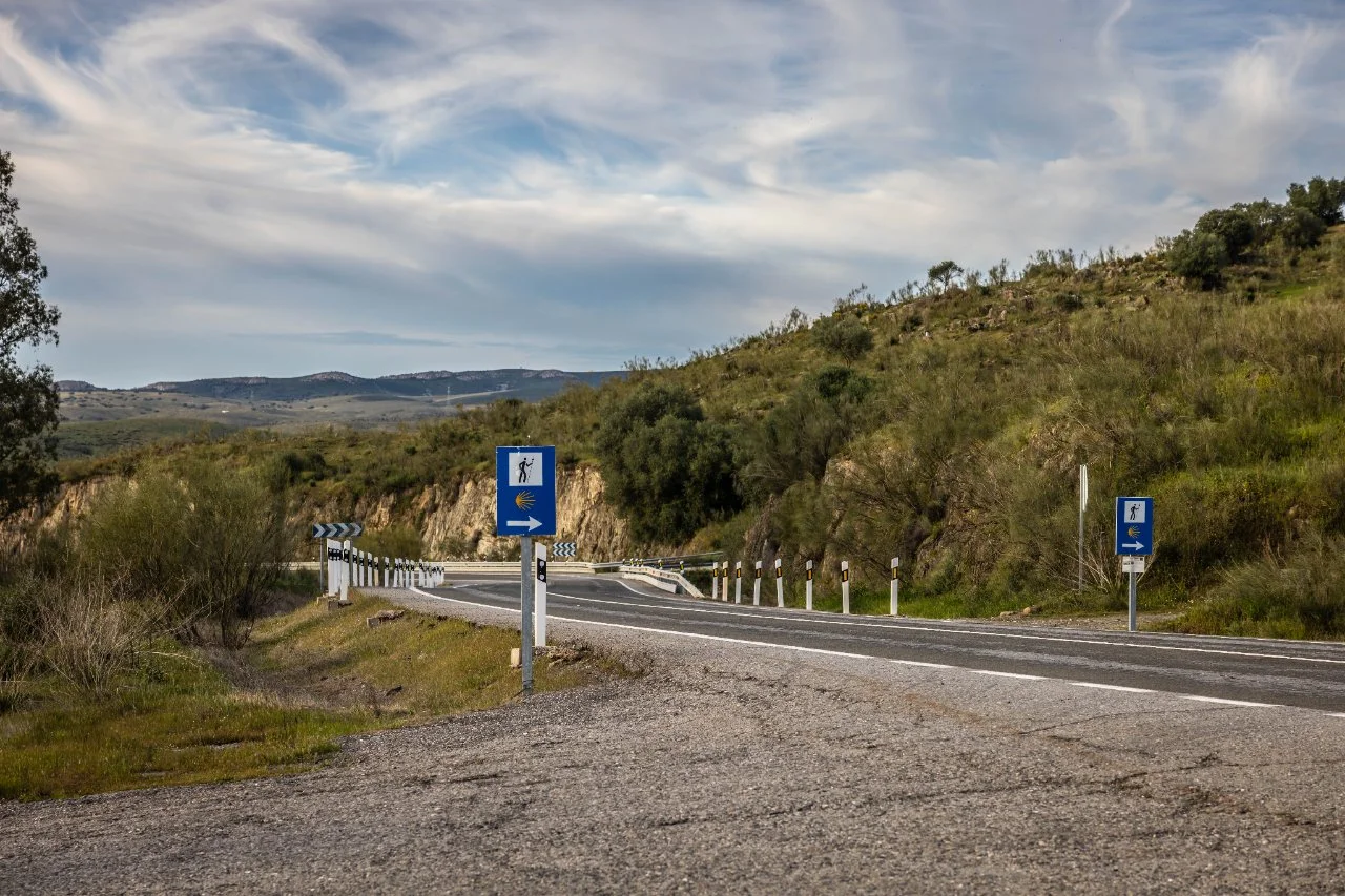
We left Cañaveral behind and its San Benito bridge, used in the Middle Ages by the pilgrims who were heading to Santiago de Compostela, to pedal on a path that is part of the Vía de la Plata, where half -naked fields of Mediterranean vegetation hide hares, partridges and foxes. Leaving the route, about 12 kilometers north of Cañaveral, we can see the convent of the levers, founded by San Pedro de Alcántara. Back to our Cyclosenda, the vegetation increases as we reach another of the reservoirs of the natural path of Tagus, that of Alcántara, included in the Natura 2000 Network as a area of special protection for birds (Zepa). The route will leave us with great views of the Tajo River to one side and the reservoir to the other.
Share your experience about this cycling route: what did you like?, how was the ride?, what recommendations would you give to other bicycle users? Remember that comments should focus on evaluating the route and be respectful. Avoid personal comments about other users, people, or off-topic content. Offensive, disrespectful, or off-topic comments may be removed.
You are not registered, please, to comment do login previously